


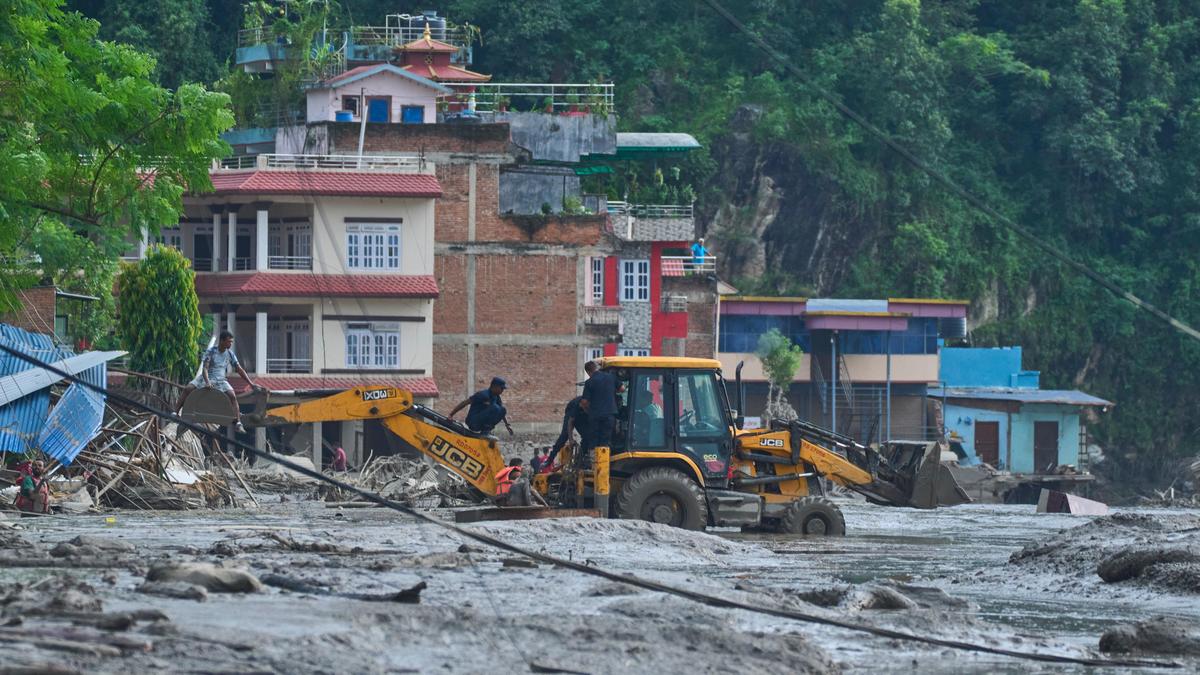
Rescuers use earthmovers to reach submerged houses after flash flooding along the Trishuli River in Nepal’s Nuwakot district, on August 26, 2026.
| Photo Credit: AP
A western disturbance that brought rain to parts of northern India, and subsequently moved eastwards towards the Himalayas, may have contributed to the weather conditions preceding the devastating flash floods in Nepal on Wednesday (August 26, 2026), according to a senior India Meteorological Department (IMD) official. Nepali authorities are also investigating whether an earthquake triggered a landslide or avalanche that caused the sudden surge of water.
Follow LIVE updates on the Nepal flash floods on August 26, 2026
“The interaction between the systems, along with the hilly terrain, might have played a role,” D.S. Pai, Director, Regional Meteorological Centre, Chennai, told The Hindu, “The same western disturbance system was moving eastwards, bringing increased rainfall activity towards the northeast and the Himalayan region.”
There was not enough information to establish that a cloudburst had occurred in the affected area, he cautioned, adding that rainfall measurements from Nepal would be needed to determine whether exceptionally large amounts of precipitation were recorded.

“The western disturbance should be understood as a possible contributor to the broader rainfall environment rather than as an established direct cause of the flash flood. The immediate mechanism behind the sudden release of water remains under investigation,” Mr. Pai said.
Nepal and India have mechanisms to share hydrological as well as forecast information. The western disturbance persists as a cyclonic circulation over north Haryana on Wednesday (August 26, 2026).
Preliminary information indicated that an earthquake occurred in the area shortly before the flooding, and may have triggered an avalanche or landslide that caused the flood, Nepal’s Foreign Minister Shishir Khanal said, according to Nepali media reports. Nepal and China were investigating the sequence of events.
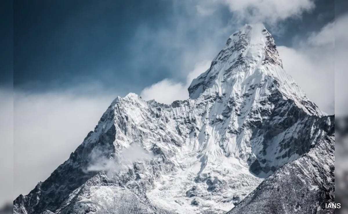
A preliminary assessment by researchers separately suggested that an ice avalanche may have blocked a river, allowing water to accumulate before a sudden release downstream.

The weather conditions, however, point to sustained rainfall across a wider Himalayan region. The World Meteorological Centre, Beijing said in a report Wednesday that Nepal had experienced persistent rainfall for about 10 days under the influence of the southwest monsoon and ‘orographic lifting’ (a moving air mass colliding into a mountain and rising) along the southern Himalayan foothills. It said accumulated rainfall between August 16 and 25 had reached heavy to intense levels at some locations, while southern Tibet, upstream of Nepal had also received moderate to heavy rain, with localised, intense downpours.
The combination of local and upstream rainfall contributed to flash floods and debris flows in northern Nepal on Wednesday, the Beijing centre said. A monsoon depression over northern India would continue to bring moderate to heavy rain to Nepal over the next three days, with heavy to intense rainfall possible in southern areas, the World Meteorological Centre report noted. Despite spells of rain, India’s cumulative southwest monsoon rainfall remained 13% below normal as of August 26, according to IMD data.

The flooding struck the Bhotekoshi river area of Rasuwa district near the Tibet border, damaging settlements, roads, bridges, and power infrastructure. At least eight people had been confirmed dead in initial reports, while hundreds were reported missing, including foreign travellers.
The World Meteorological Centre warned that continued heavy precipitation could trigger further flash floods, landslides, and debris flows.
Published – August 26, 2026 09:26 pm IST