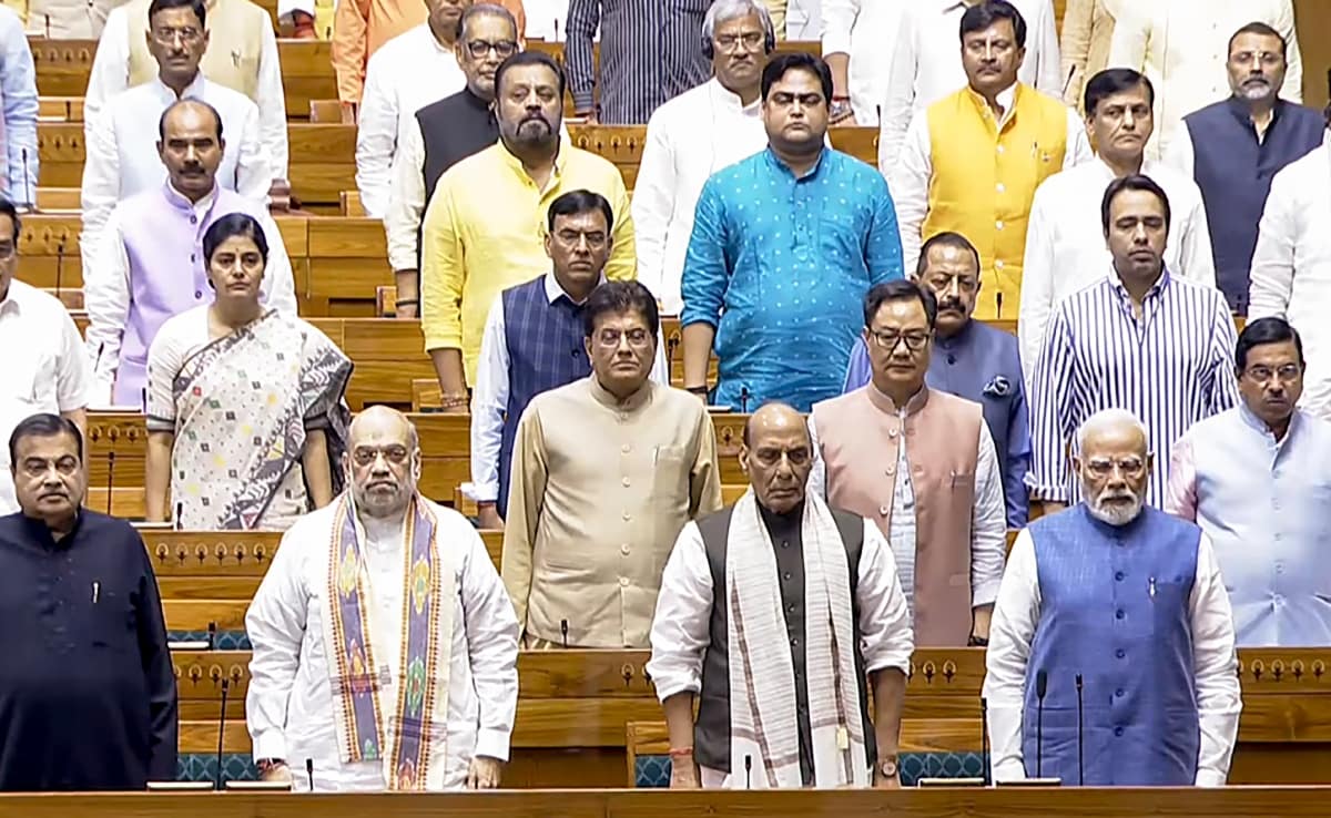








The plan was approved by the urban body on August 12 and sent to the Ministry of Housing and Urban Affairs for clearance.
| Photo Credit: file photo
Increasing the floor area ratio (FAR) for in situ slum rehabilitation, reducing the minimum plot size for transit-oriented development (TOD) and taking a more proactive role in implementing land pooling are among the changes the Delhi Development Authority (DDA) has made in the Master Plan for Delhi-2047.
The plan, approved by the urban body on August 12 and sent to the Ministry of Housing and Urban Affairs for clearance, proposes raising the FAR of the rehabilitation component (for EWS housing) for in situ slum projects from 400 to 500 and the remunerative component (for sale in the open market) from 300 to 500. It also removes the existing maximum density restriction for such projects.
FAR is the ratio of a building’s total built-up area to the total area of the plot.
The plan estimates Delhi’s population to rise from about 2.4 crore currently to 3.2 crore by 2047. It identifies 350 sq km as “future urbanisable area” while noting that Delhi is landlocked and has no possibility of “horizontal expansion”.
The plan also proposes allowing commercial activity on residential plots along roads that are at least 30 metres wide, introducing a “24-hour city” concept and a new transferable development rights framework.
Under the proposed mixed-use provisions, commercial activity would be permitted on the ground floor or lower first floor of residential plots on roads with a minimum right of way of 30 metres. Parking would have to be provided within the plot or in common parking facilities, including multi-level parking in the vicinity. The plan also identifies 2,183 mixed-use streets, where commercial activity would be allowed on the ground floor, and 355 commercial streets, where it would be allowed on all floors.
Land pooling
The MPD-2047 retains land pooling as a major development policy covering about 200 sq km.
Around 20,000 hectares have been identified for land pooling across 105 villages, of which the DDA says about 17,000 hectares are vacant and available for development.
Landowners have so far expressed willingness to participate in about 7,865 hectares or 46.3% of the area. Participation varies significantly across zones: 60.1% in P-II, 4.1% in P-I, 55.2% in N, 31.3% in L, 12.8% in K-I and 99.8% in Zone J.
The revised framework proposes a minimum sector size of 20 hectares and a 60:40 land distribution model. It also gives the DDA a more proactive role, including acting on behalf of landowners where consortium formation is difficult. Around 600 km of new roads are proposed in the land-pooling areas, with the urban body developing roads, greens, utilities and public facilities.
Provisions for JJ clusters
The DDA has proposed a two-pronged approach for notified jhuggi-jhopri (JJ) clusters whose population is estimated at about 12 lakh — in-situ rehabilitation under the Jahan Jhuggi Wahan Makan policy and relocation of slums located on ecologically sensitive sites.
A new ‘High Density Corridor’ policy has also been proposed along a 250-metre-wide corridor on either side of Urban Extension Road-II.
For unauthorised colonies, regularisation is proposed on an “as is where is” basis, without requiring a layout plan or minimum road width.
For the Yamuna riverfront, the plan identifies 9,934 hectares as Zone O. Within the active floodplain, it proposes a no-construction zone, allowing only recreational use and utilities. Outside the floodplain, development would remain restricted, alongside ecological restoration, rejuvenation and recreational uses.
The DDA has also proposed a geographic information system-based land-use plan incorporating land pooling, TOD and high-density corridors, along with major infrastructure such as the metro, Regional Rapid Transit System and roads. A Digital Twin of Delhi has been proposed to help regulate encroachment and unauthorised construction.
Published – August 15, 2026 01:12 am IST